Vandellòs i l'Hospitalet de l'Infant launches a new trekking map
Beatriz Higueras, Communication Manager of the Ajuntament de Vandellòs i l'Hospitalet de l'Infant
The City Council of Vandellòs i l'Hospitalet de l'Infant has published a new trekking plan, with the collaboration of the Serres del Mestral Excursionist Center and the Piolet editorial, to give value to the natural environment of the municipality, to respond to the growing interest for this outdoor activity and for mountain races; and at the same time, to boost tourism in the area.
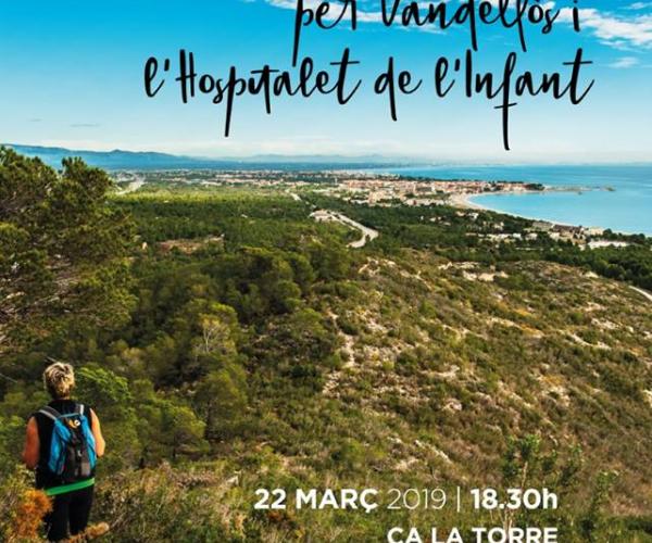
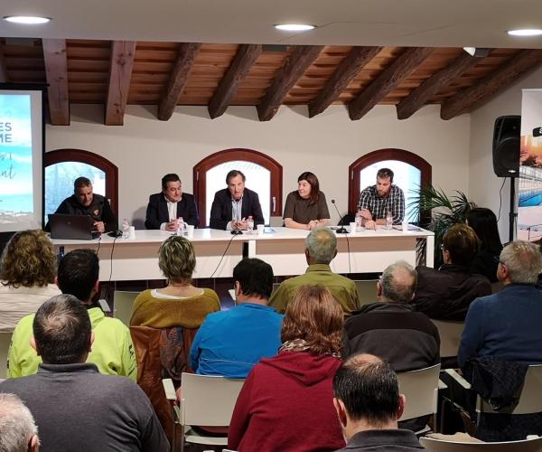
This new information and topographic plan is the result of an agreement signed three years ago by the City Council and the Serres del Mestral Excursionist Center for the maintenance and vertical and horizontal signage of the andes and trails of the municipality, as explained by the president of this local entity, José Gavira, at the presentation of the map, which took place last Friday, March 22, at night, in Ca la Torre de Vandellòs. In this act, both the mayor, Alfons García; as the Councilor for Sports, Cristina Borràs, thanked the work carried out by the Excursionist Center and, especially, by its president.
The edition of this map responds to the need to update the existing map, to incorporate the new paths that have been recovered; and to make known 14 routes that can be done on foot in the municipality and that allow hikers to enjoy the scenic beauty of Vandellòs and l'Hospitalet de l'Infant, characterized by the combination of sea and mountain.
Among the points of tourist attraction, Gavira highlighted the rocky area of La Mola de la Viuda, the abandoned village of Remullà, the Coll de Pressó from where you can see the town of Vandellòs; the views of the sea, the Delta del Ebro and the Camp de Tarragona in general that can be admired from the Mola de Nadell to l'Hospitalet de l'Infant, the rock formations of the Barranco de Lleria...
The 14 proposed routes are of different difficulties and distances, so that everyone can choose the ones that best suit their tastes and needs. Each of the tours includes a QR code, so that people can download and follow them with the mobile phone or with a GPS device.
The new plan, which contains the most relevant information on these routes and a cartographic database, will be available at the Tourism offices and at Ca la Torre.


